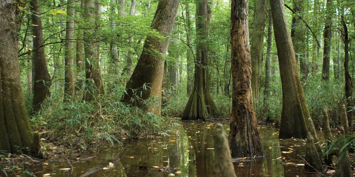
The Cedar Creek Canoe Trail in Congaree Swamp National Monument is an easy, six-mile journey through the last significant tract of old-growth bottomland hardwoods in the Southeast. It could be the finest canoe trail in the Midlands, too, since floating this dark waterway feels like taking a trip back to prehistoric times. Wildlife in the swamp is incredibly diverse (130 kinds of birds, 41 species of mammals, more than 50 fish species and two dozen reptile species). Feral hogs root through the underbrush (hunters long ago took the last wild hog — a 500 pounder!) and black bears have reportedly used the park as well. The entire Cedar Creek Canoe Trail wanders all over the swamp, into a myriad of other creeks and branches for approximately 16 miles.
Access Points: Mileage and GPS coordinates are approximate and for reference only.
Mile 0 – (GPS N 33.8405 W 80.8600) – Bannisters Bridge – The access is on a dirt road off Old Bluff Road (Richland County S-40-734). From downtown Columbia, drive southeast on Bluff Road (SC 48) for 12.3 miles (8.4 miles from the junction of I 77 and Bluff Road) and turn right onto Old Bluff Road (S-40-734). Drive 4.3 miles to the bridge, then turn right onto a dirt road. You can get directions for parking at Congaree Swamp National Park.
Mile 2.9 – (GPS N 33.9198 W 80.8228) – Pass under a service road bridge.
Mile 6 – (GPS N 33.8186 W 80.7861) – Cedar Creek Road – From downtown Columbia, drive southeast on Bluff Road (SC 48) for 18.5 miles (14.6 miles from the junction of I 77 and Bluff Road) and turn right onto Cedar Creek Road (Richland County S-40-1288). At approximately 2.5 miles, a pipe gate marks the gravel road that leads to a throw-in access.
Hours: Dawn to dusk, with the gates open from 8:30 a.m. to 5:30 p.m.
Camping: There is primitive camping available just inside the National Monument at a small campground.
Visit Our Website Get Directions